|
|
WP1 - Baseline ocean observations and contemporary modeling
Six main tasks consists of WP1:
- To develop a project database through integrating existing datasets and incorporating new, information on hydrographic, biological and biogeochemical datasets.
- Perform data quality control through cross-over analysis; property-property evaluation and combine the data into an quality controlled integrated dataset.
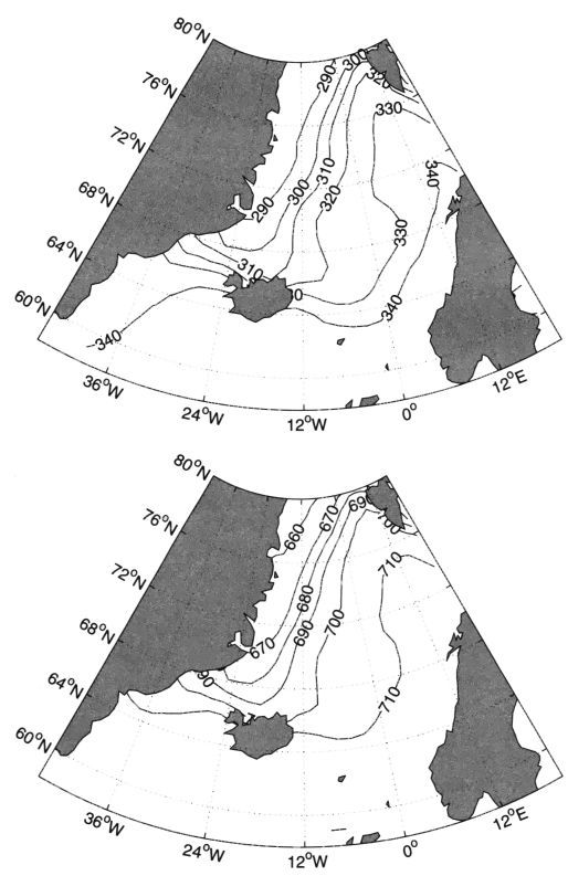
- From model output and POL-NOR dataset, develop GIS maps of hydrography, carbon and nutrient biogeochemistry (e.g. pH, CaCO3 saturation state).
- To transfer the dataset compiled to the model grid for validation.
- To validate the output against observations and analyse carbon system state and variability
- To analyse and optimize model boundary conditions against contemporary observations. This will be transferred to WP4 for future model runs.
WP1 is composed of tasks which fulfillment enable us determine the contemporary distribution of hydrography, nutrients, and carbon dioxide system parameters (Ct, At, pCO2, pH). It will assess the current regional, seasonal and interannual variability and rate of change in temperature, salinity, nutrient supply, primary productivity and ocean acidification. Although this WP1 will last for 36 months majority of deliverables and milestones including GIS maps on current physical and biogeochemical state of the ocean will be provided in the first two years.
|
photo: P. Kukliński |
photo: P. Kukliński |
photo: P. Kukliński |
photo: P. Kukliński |
|
|
